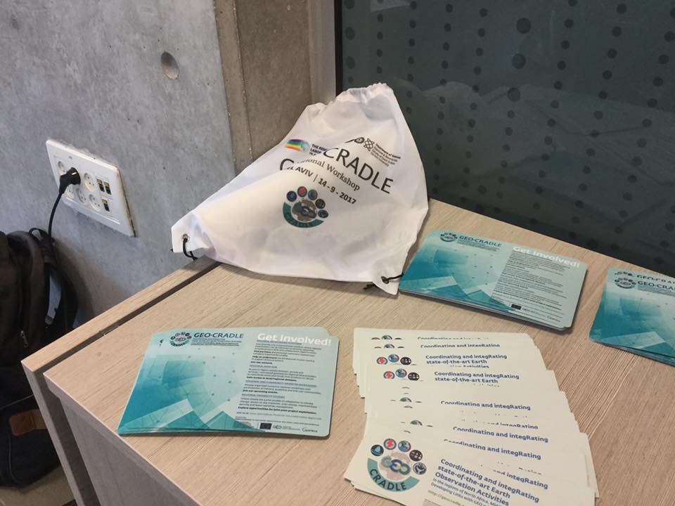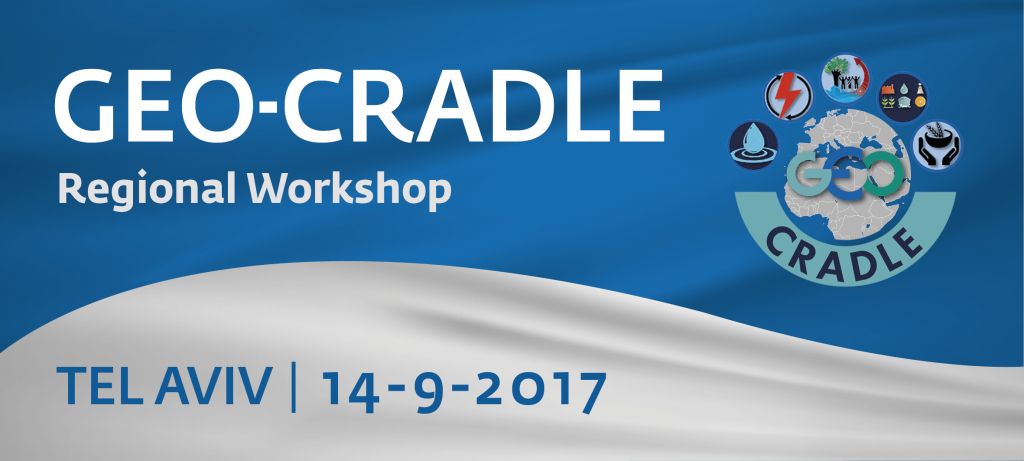
GEO-CRADLE Regional Workshop, 14/09/2017, Tel Aviv

Addressing regional needs in the Middle East by enhancing Earth Observation uptake and relevant business performances
We cordially invite you to participate in the Regional Workshop of the GEO-CRADLE Horizon2020 project (www.geocradle.eu – Coordinating and integRating state-of-the-art Earth Observation Activities in the regions of North Africa, Middle East, and Balkans and Developing Links with GEO related initiatives towards GEOSS). The event is jointly organized by the Project Coordinator National Observatory of Athens (NOA) and the Project Partner Tel Aviv University. It will take place on:
September 14th 2017
at The Porter School of Environmental Studies,
Tel-Aviv University (near University gate #14), room 101
This regional workshop will focus on identifying the potential local challenges and needs that can be addressed with the Earth Observation (EO), enabling more informed decision making, while seeking solutions to enhance growth and innovation in the geo-information sector. Aiming to support knowledge sharing, capacity building and an enhanced cooperation between academia and industry, the event will also provide participants with a unique cross-sector networking opportunity. In addition, panel discussions will be complemented with information on available EU funding in the EO sector. We are looking forward to welcoming you to this event and we are certain that your presence and input will greatly enrich our discussions.
Please register by filling in this form: www.eventora.com/en/Events/geo-cradle-telaviv
For further information about project activities, please visit the GEO-CRADLE website at www.geocradle.eu.
Yours sincerely,
Dr Haris Kontoes Prof. Eyal Ben Dor
GEO-CRADLE Project Coordinator, NOA GEO-CRADLE Project Partner TAU

| Time | Topic | Speakers |
| 08:30-09:00 | Registration & Coffee | |
| Opening | ||
| 09:00-09:15 | Welcome notes | • Prof. Eyal Ben-Dor – The Remote Sensing Laboratory, The Department of Geography and the Human Environment, Tel Aviv University (TAU), Israel
• Dr. Haris Kontoes – GEO-CRADLE Project Coordinator, National Observatory of Athens (NOA), Greece |
| Session I | GEO-CRADLE contribution to the region | Chair: Dr. Haris Kontoes, NOA |
| 09:15-09:35 | GEO-CRADLE project in context of regional needs | Dr. Haris Kontoes – GEO-CRADLE Project Coordinator, NOA, Greece |
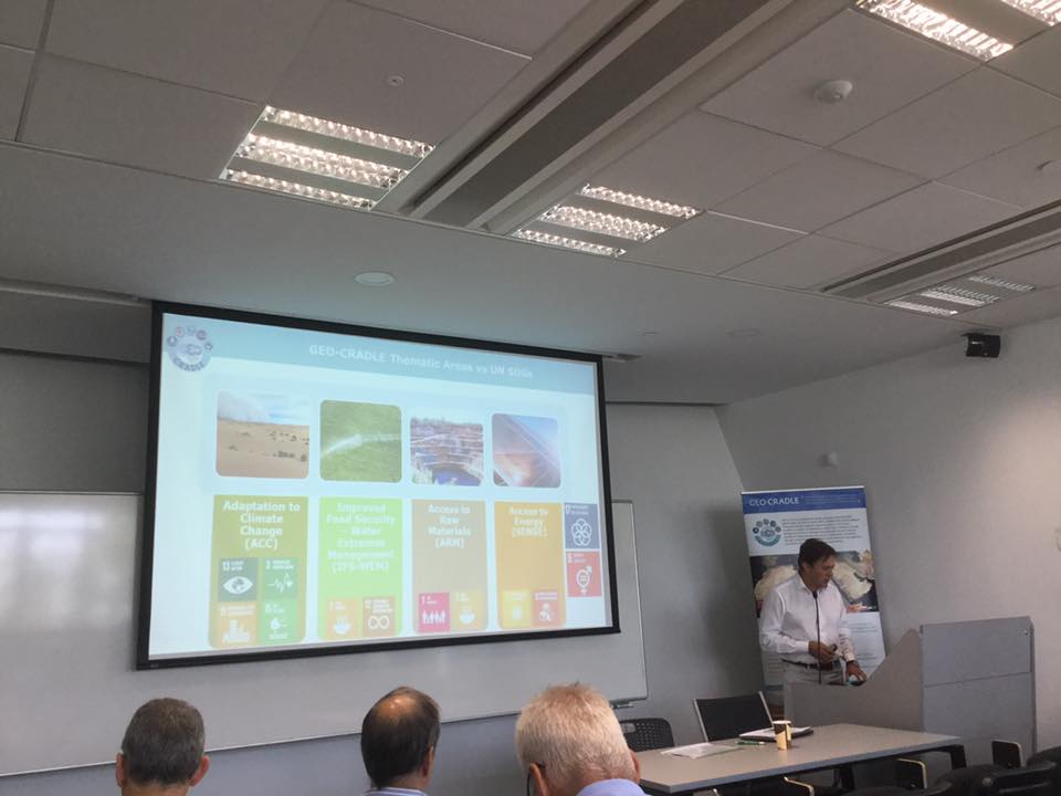
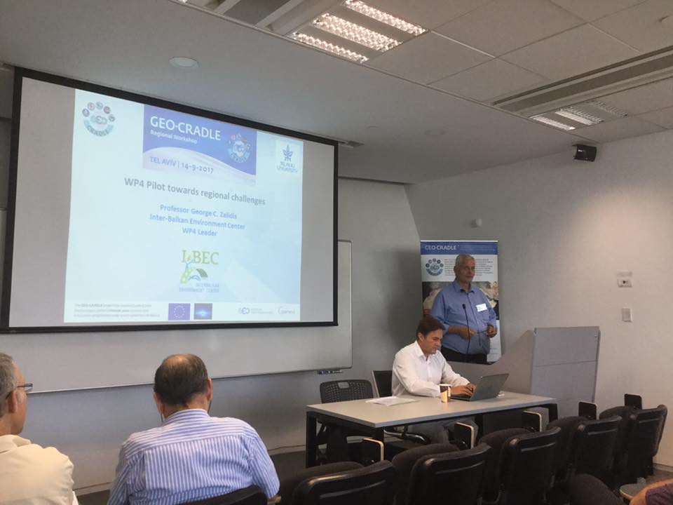
| 09:35-09:50 | GEO-CRADLE in support to SDGs implementation in the areas of Adaptation to Climate Change, Improved Food Security & Water Extremes Management, Access to Raw Materials and Access to Energy | Prof. George Zalidis – InterBalkan Environment Center (IBEC), Greece |
| 09:50-10:05 | GEO-CRADLE in support to capacity building, stakeholder engagement and data sharing in the region | Ms. Alexia Tsouni – GEO-CRADLE Project Coordination Team, NOA, Greece |
| 10:05-10:20 | Copernicus and GEO opportunities for Israel and the region | Ms. Eleni Christia – GEO-CRADLE Project Communication Manager, NOA, Greece |
| 10:20-10:35 | Q&A – Discussion | |
| 10:35-11:05 | Coffee break | |
| Session II | Regional EO perspective | Chair: Prof. Eyal Ben-Dor , TAU |
| 11:05-11:20 | Spectral Imaging of Soils: past, present and future | Prof. Eyal Ben-Dor – The Remote Sensing Laboratory, The Department of Geography and the Human Environment, TAU |
| 11:20-11:35 | The Israel space programs | Mr. Avi Blasberger – General Director, Israel Space Agency (ISA) |
| 11:35-11:50 | EO capabilities | Mr. Barak Solomin – ImageSatInt |
| 11:50-12:05 | Sub-surface combination of active and passive remote sensing methods and approaches for soil mapping | Dr. Naftaly Goldshleger – Ariel University |
| 12:05-12:20 | Availability of commercial products for the monitoring of the earth from space and ground | Dr. Noah Wolfson – Owner & Director General, Meteo-Tech Ltd. – Measurement Instruments |
| 12:20-12:30 | Q&A – Discussion | |
| Session III | Environmental monitoring: Projects in Israel | Chair: Prof. George Zalidis, IBEC |
| 12:30-12:45 | Monitoring geo-hazards using SAR Interferometry | Dr. Ran Novitsky Nof – Seismology Division, The Geophysical Institute of Israel |
| 12:45-13:00 | Modeling floods and drought in Israel: current situation and future possibilities | Dr. Amir Givati – Israel Water Authority |
| 13:00-13:15 | Climate change and its environmental impacts: methodological approaches | Prof. Hadas Saaroni – The Department of Geography and the Human Environment, TAU |
| 13:15-14:00 | Lunch break | |
| 14:00-14:15 | The need for a precise and frequent soil cover mapping | Dr. Gil Eshel – The Ministry of Agriculture |
| 14:15-14:30 | From large-scale patterns to plant nutrients: remote sensing tools aid in solving ecological puzzles | Dr. Efrat Sheffer – The Robert H. Smith Institute of Plant Sciences and Genetics in Agriculture, The Faculty of Agriculture, Rehovot, The Hebrew University of Jerusalem |
| 14:30-14:40 | Q&A – Discussion | |
| Session IV | The end-user perspective | |
| 14:40-15:35 | Part 1 | Chair: Dr. Haris Kontoes, NOA |
| 14:40-14:55 | Applications of Geoinformation Technology to forest monitoring and management in Israel | Dr. Michael Shprinsin – Keren Kayemet LeIsrael (The Jewish National Fund) |
| 14:55-15:10 | Current research of the south including some remote-sensing examples | Dr. Elli Groner – Scientific Director, The Dead Sea and Arava Science Center (DSASC) |
| 15:10-15:20 | Q&A – Discussion | |
| 15:20-15:50 | Coffee break | |
| 15:50-16:50 | Part 2: Round table: How to maximize the benefits of EO for food security in Israel | Chair: Prof. Eyal Ben-Dor, TAU |
| 15:50-16:05 | The use of GIS and satellite and aerial images in agricultural land surveys | Ms. Nurit Ben Hagai – Zemach-Nisyonot |
| 16:05-16:20 | Manna Center Program for Food Safety & Security: From field to fork via Research, Education & Collaboration | Prof. Nir Ohad – Director of Research & Outreach, Manna Center Program for Food Safety and Security |
| 16:20-16:50 | Interventions / Comments | Dr. Haris Kontoes, Dr. Efrat Oron |
| Closing | ||
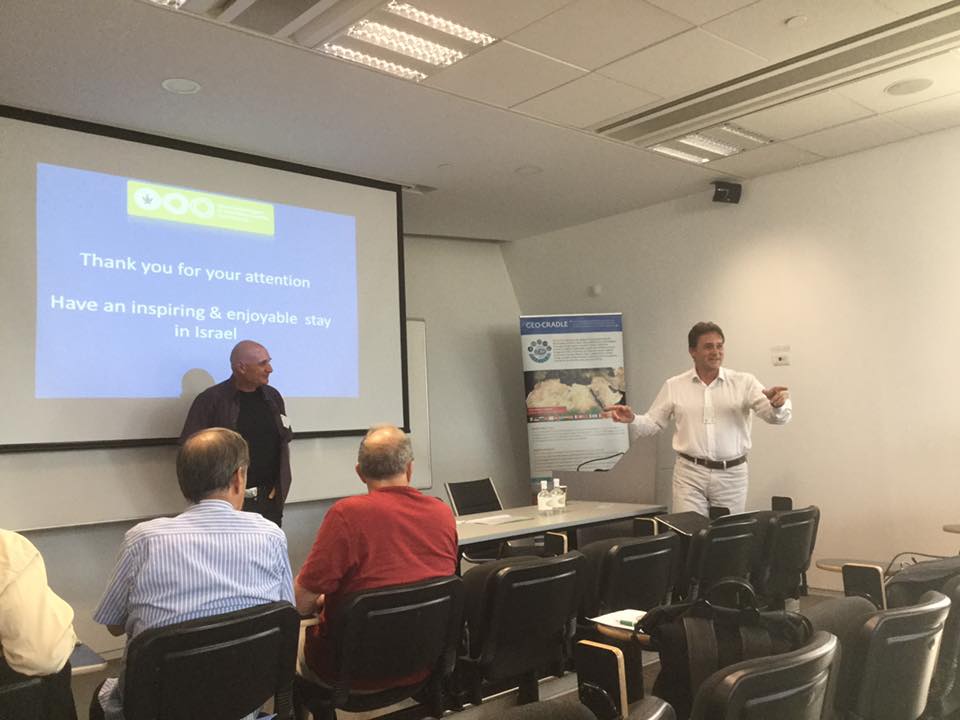
| 16:50-17:00 | Conclusions | Dr. Haris Kontoes, GEO-CRADLE Project Coordinator |