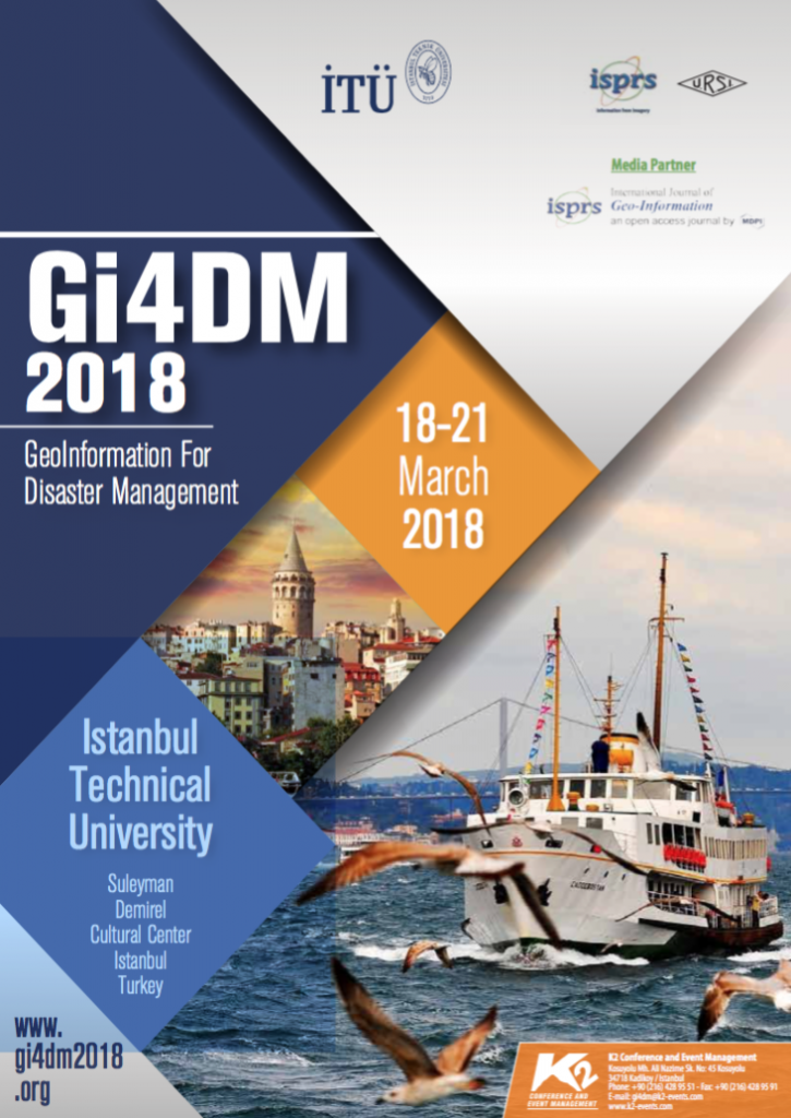
Gi4DM 2018: GeoInformation for Disaster Management
The world has experienced several devastating disasters in this century, first an Earthquake of a very high magnitude and then Tsunami afterwards or heavy rainfalls followed by floods and landslides, which are more and more of a common occurrence. So, most of the potential to mitigate such a disaster in the future would have to be in the field of vulnerability reduction by adaptation, e.g. in urban planning and construction, based on risk and vulnerability maps.
Here we should coordinate all efforts globally as most of the disasters nowadays have a trans boundary impact. So, the Geoinformation technologies will better express and should help in all facets of Disaster Management. An international effort in this direction is the Gi4DM series of Conferences; the first one was held in 2005 in Delft after the Indian Ocean Tsunami and repeated every year in almost all parts of the world. The upcoming conference in next March 2018 in Istanbul will demonstrate the last international advances in Geoinformation regarding the Disaster Management.
We are pleased to invite you to submit an abstract and in case of acceptance also your paper to this conference. All accepted papers will be published in ISPRS Archives. The ISPRS Archives are listed in the ISI Conference Proceedings Citation Index (CPCI) of the Web of Science, SCOPUS, the E/I Compendex, and the Directory of Open Access Journals (DOAJ).
Please visit the Conference website for more information: http://www.gi4dm2018.org/
Recent News