Addressing regional needs in North Africa by enhancing Earth Observation uptake and relevant business performances
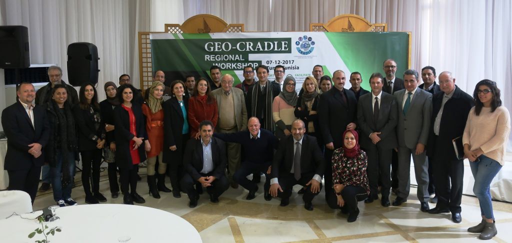
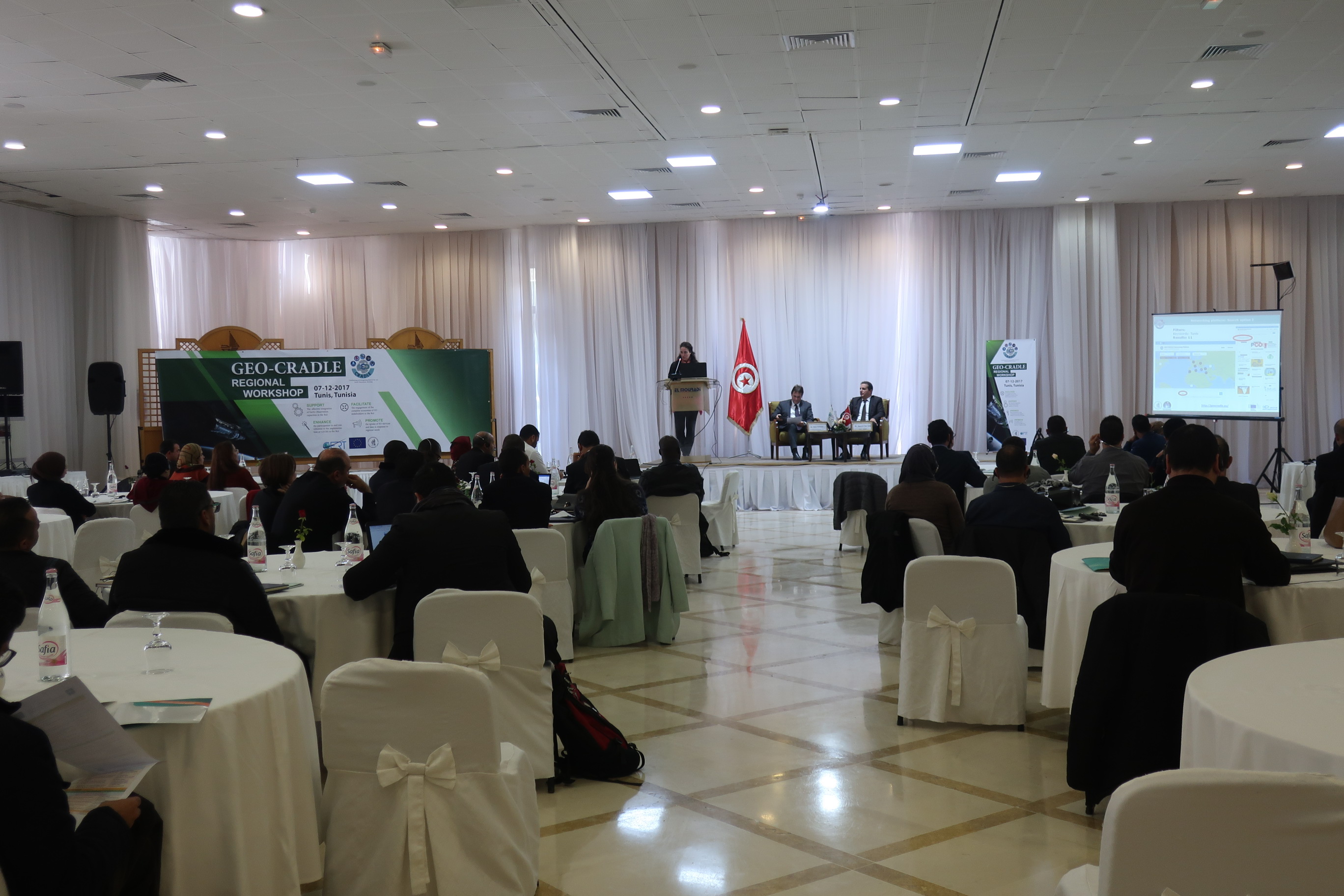
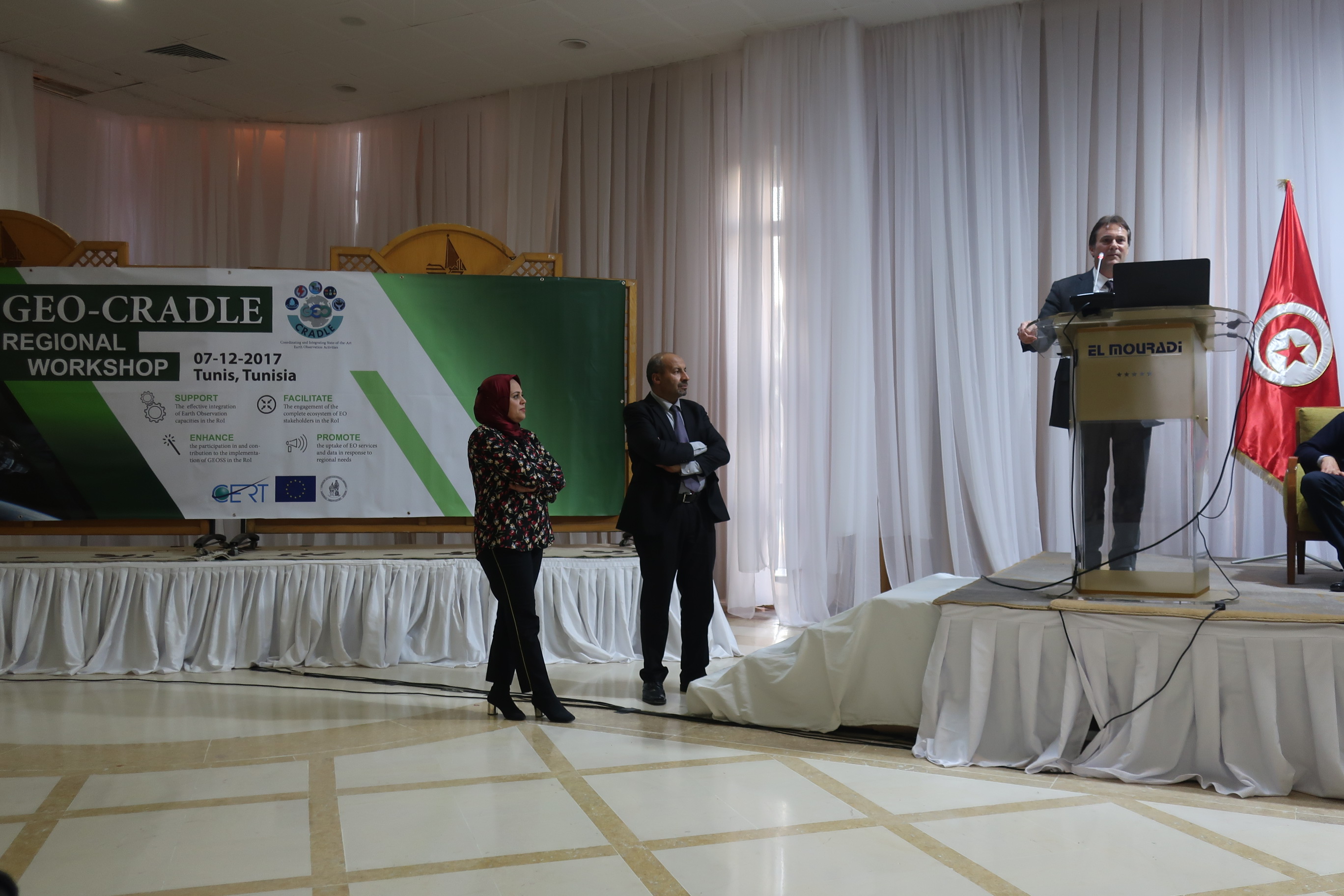
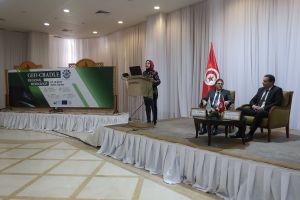
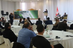
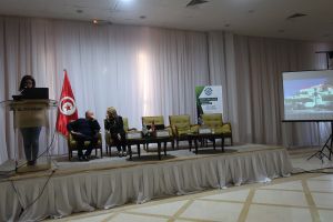
We cordially invite you to participate in the Regional Workshop of the GEO-CRADLE Horizon2020 project (www.geocradle.eu – Coordinating and integRating state-of-the-art Earth Observation Activities in the regions of North Africa, Middle East, and Balkans and Developing Links with GEO related initiatives towards GEOSS). The event is jointly organized by the Project Coordinator National Observatory of Athens (NOA) and theProject Partner Research and Studies Telecommunications Centre (CERT). It will take place on:
December 7th, 2017
at the Hôtel El Mouradi Gammarth,
Les côtes de Carthage, La Marsa, Tunis, BP 597-2070, Carthage, Tunisia
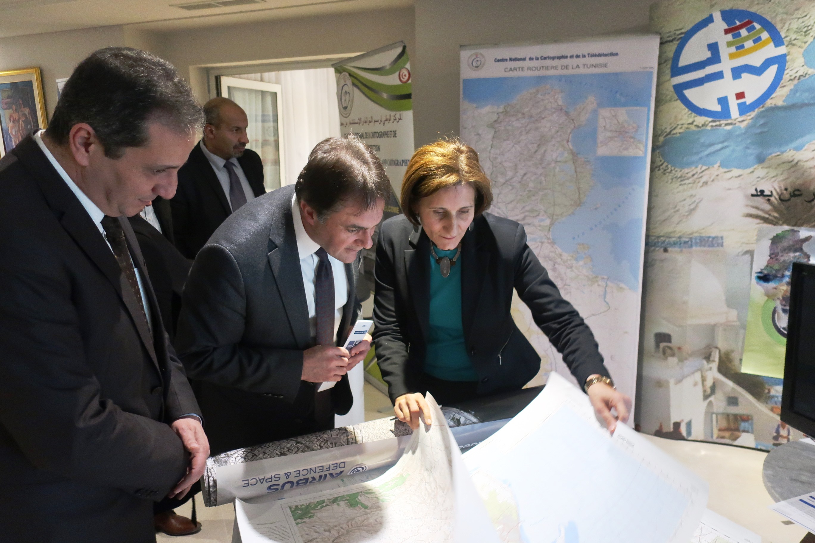
This regional workshop will focus on identifying the potential local challenges and needs that can be addressed with the Earth Observation (EO), enabling more informed decision-making, while seeking solutions to enhance growth and innovation in the geo-information sector. Aiming to support knowledge sharing, capacity building, and an enhanced cooperation between academia and industry, the event will also provide participants with a unique cross-sector networking opportunity. In addition, panel discussions will be complemented with information on available EU funding in the EO sector. We are looking forward to welcoming you to this event and we are certain that your presence and input will greatly enrich our discussions.
For your registration please click here.
Yours sincerely,
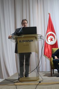
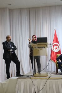
Dr. Haris Kontoes Dr Hend Ben Hadji
GEO-CRADLE Project Coordinator, NOA GEO-CRADLE Project Partner CERT
AGENDA (click to download)
| Time |
Topic |
Speaker |
| 08:00-08:45 |
Registration |
| 08:45-09:00 |
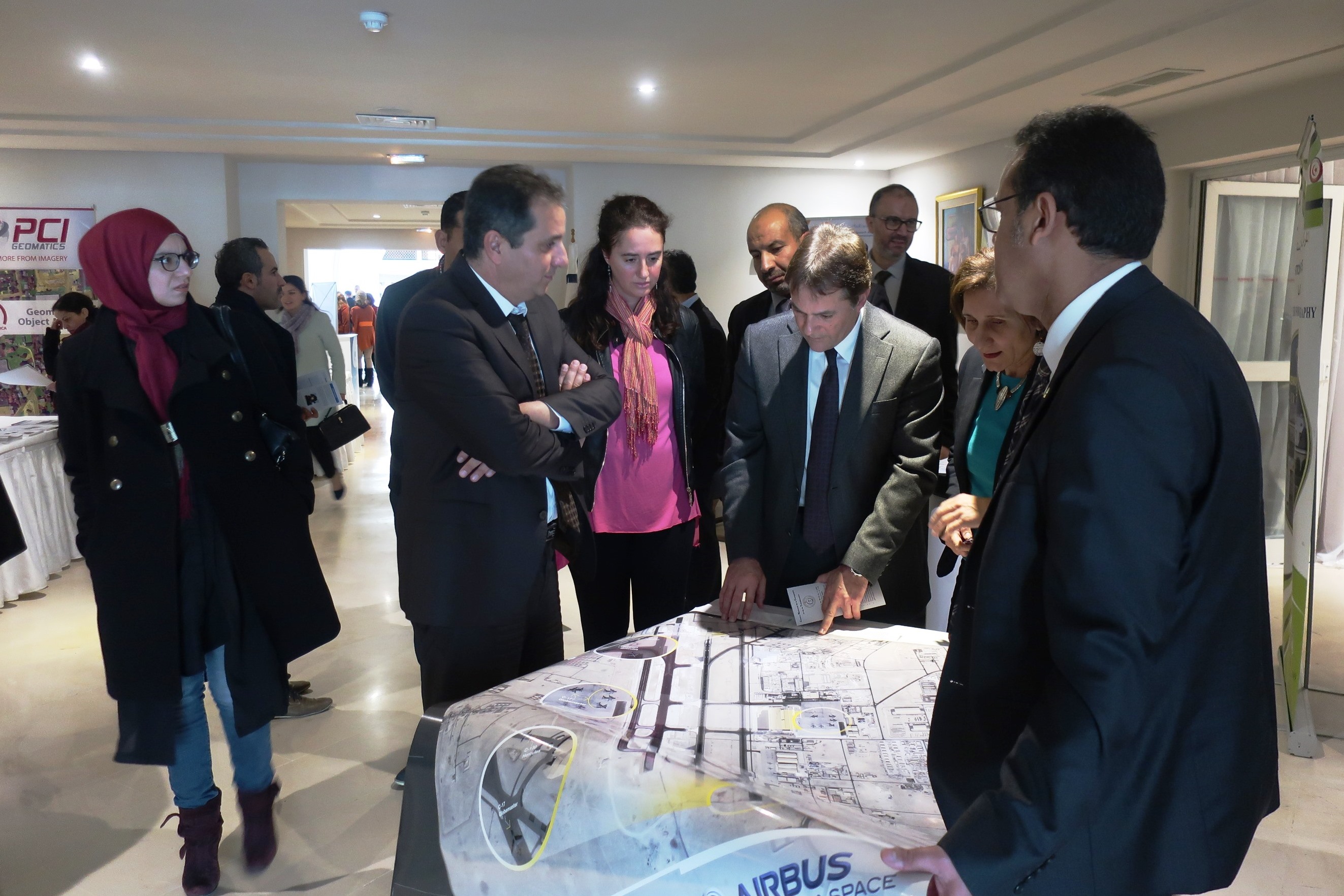
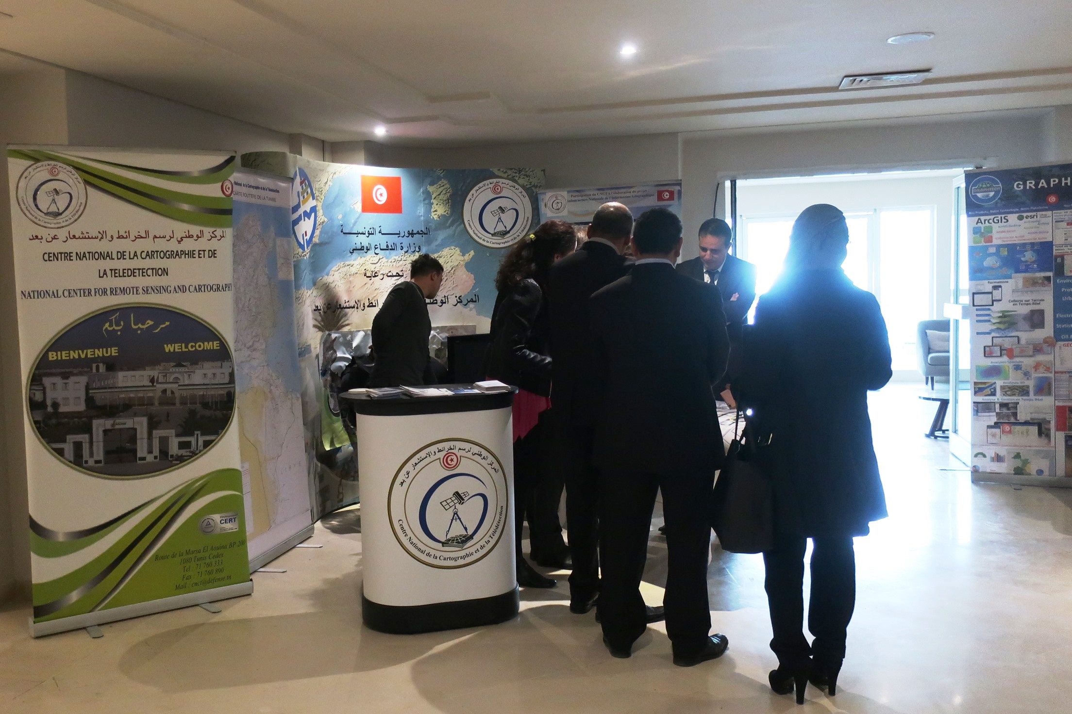
Opening of the B2B exhibition     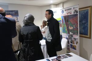 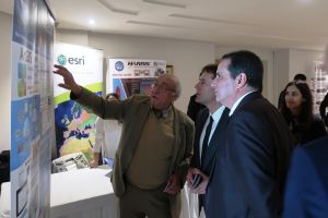   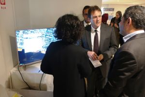 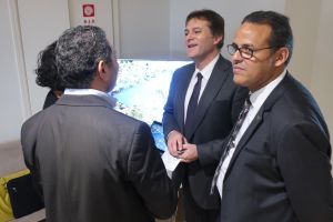 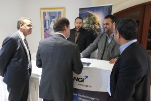 |
| 09:00-09:30 |
Welcome notes |
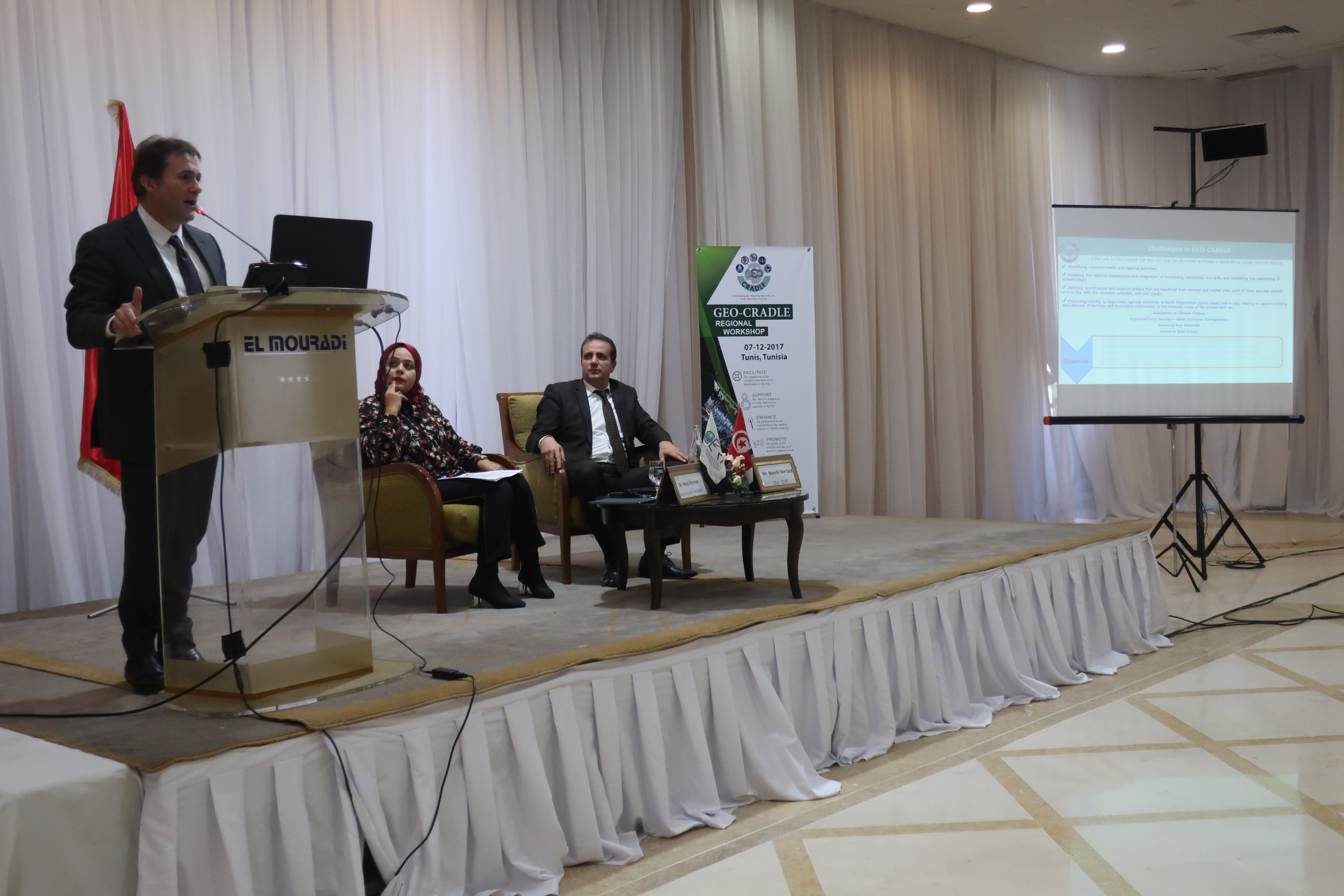
Dr. Haris Kontoes, GEO-CRADLE Project Coordinator, NOA
Mr. Naoufel Ben Said, CEO CERT
|
|
Session 1: GEO-CRADLE contribution to the region
Chairperson: Dr. Haris Kontoes
|
| 09:30-09:45 |
GEO-CRADLE project in the context of regional needs |
Dr. Haris Kontoes
GEO-CRADLE Project Coordinator, NOA

|
| 09:45-10:00 |
GEO-CRADLE in support to SDGs implementation in the areas of Adaptation to Climate Change, Improved Food Security & Water Extremes Management, Access to Raw Materials and Access to Energy |
Ms. Alexia Tsouni
GEO-CRADLE Project Coordination Team, NOA
|
| 10:00-10:15 |
GEO-CRADLE in support of capacity building, stakeholder engagement, data sharing, and the Copernicus and GEO opportunities for Tunisia and the region |
Ms. Alexia Tsouni
GEO-CRADLE Project Coordination Team, NOA

|
| 10:15-10:30 |
Q&A – Discussion 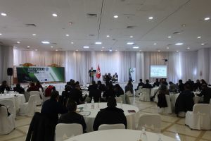 |
| 10:30-11:00 |
Coffee Break |
|
Session 2: Earth Observation Technologies
and Remote Sensing Applications for Natural Resources Management and Agriculture Monitoring
Chairperson: Dr. Hend Ben Hadji
|
| 11:00-11:15 |
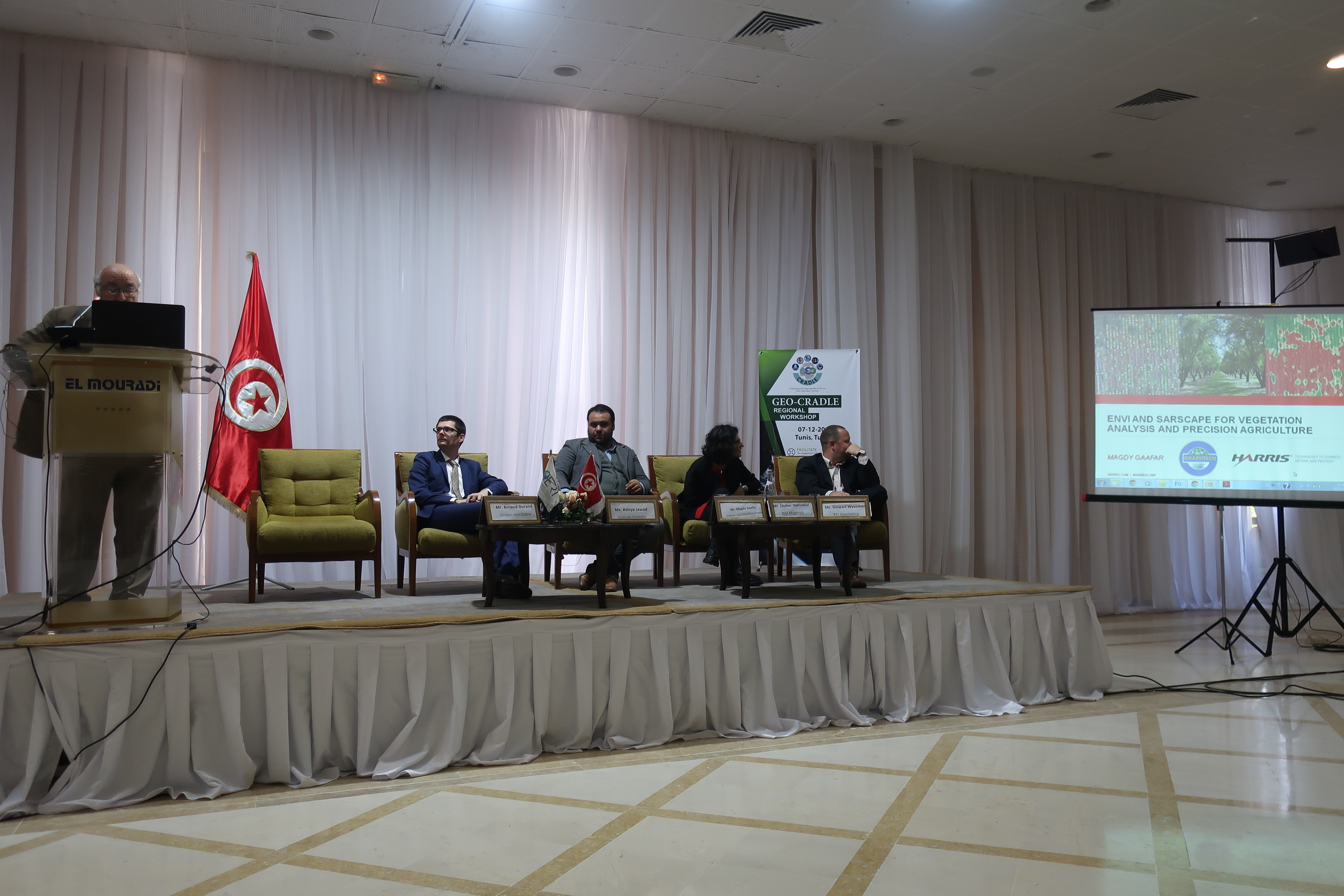
Products and services from European Space Imaging and use cases of Very High-Resolution satellite imagery in support of crop management |
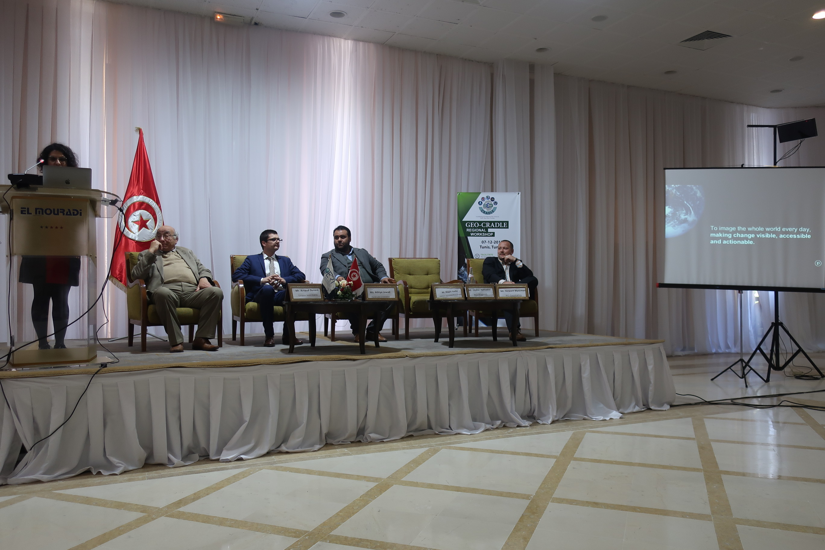
Mr. Arnaud Durand
European Space Imaging
|
| 11:15-11:30 |
The insights economy and its use cases using Planet satellite constellations |
Ms. Athiye Jawad
Planet Labs Corporation

|
| 11:30-11:45 |
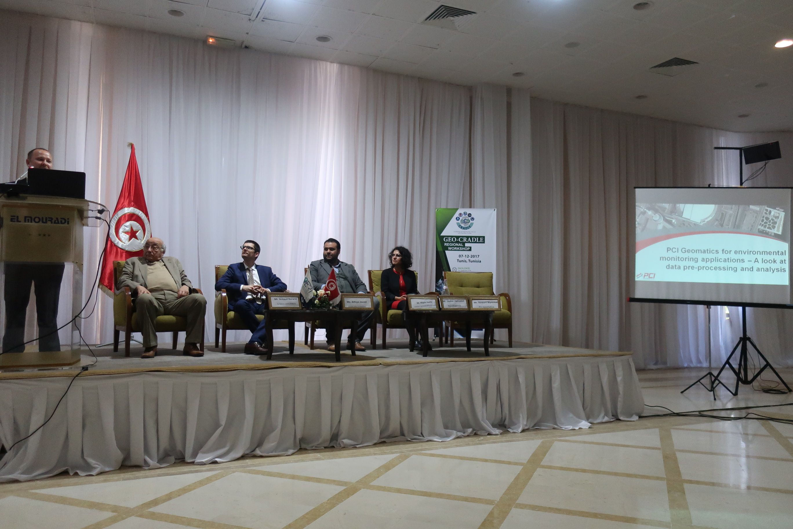
PCI Geomatics for environmental monitoring applications – A look at data pre-processing and analysis |
Mr. Stewart Wyseman
PCI Geomatics
|
| 11:45-12:00 |
Geospatial solutions to develop the performance of the agricultural sector |
Mr. Chaher Hamzaoui
NGI Maghreb
|
| 12:00-12:15 |
The central role of GIS and image analysis systems for exploiting the Earth Observation data |
Mr. Magdy Gaafar
Graphtech, Esri Tunisian Official Distributor
|
| 12:15-12:30 |
Earth Observation for agricultural monitoring and food security. Tunisian case studies |
Dr. Feiza Khebour, Ph.D.
ISA / Chott-Mariem
|
| 12:30-12:45 |
Geospatial data and tools for natural resources management in the drylands of Tunisia |
Mr. Mongi Ben Zaied, MSc.
Institute of Arid Regions (IRA) |
| 12:45-13:00 |
Q&A – Discussion
 |
| 13:00-14:15 |
Lunch Break |
|
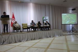
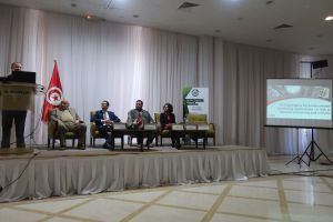
Session 3: Climate Change
Chairperson: Dr. Abdel Aziz Kallal
|
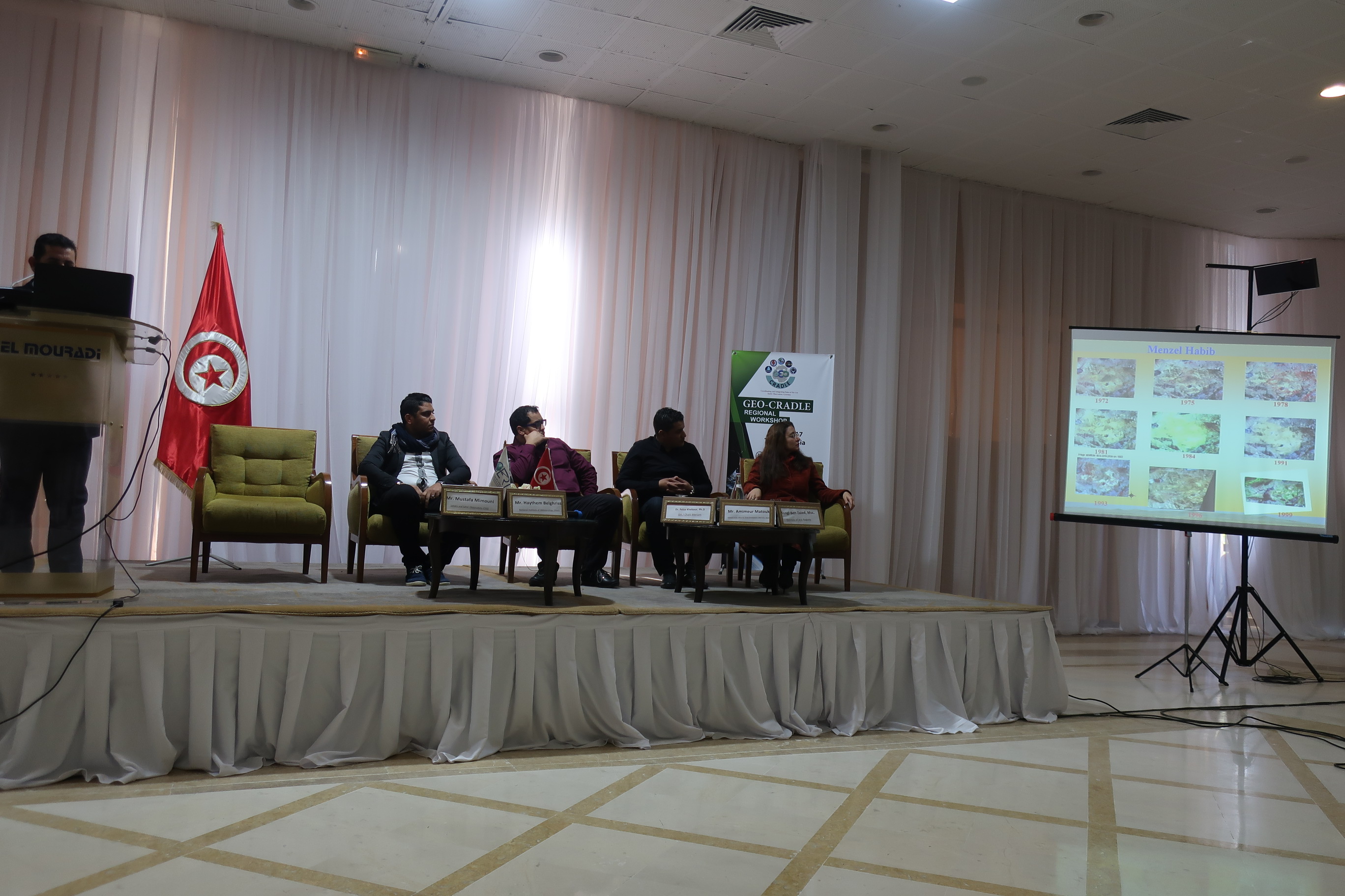
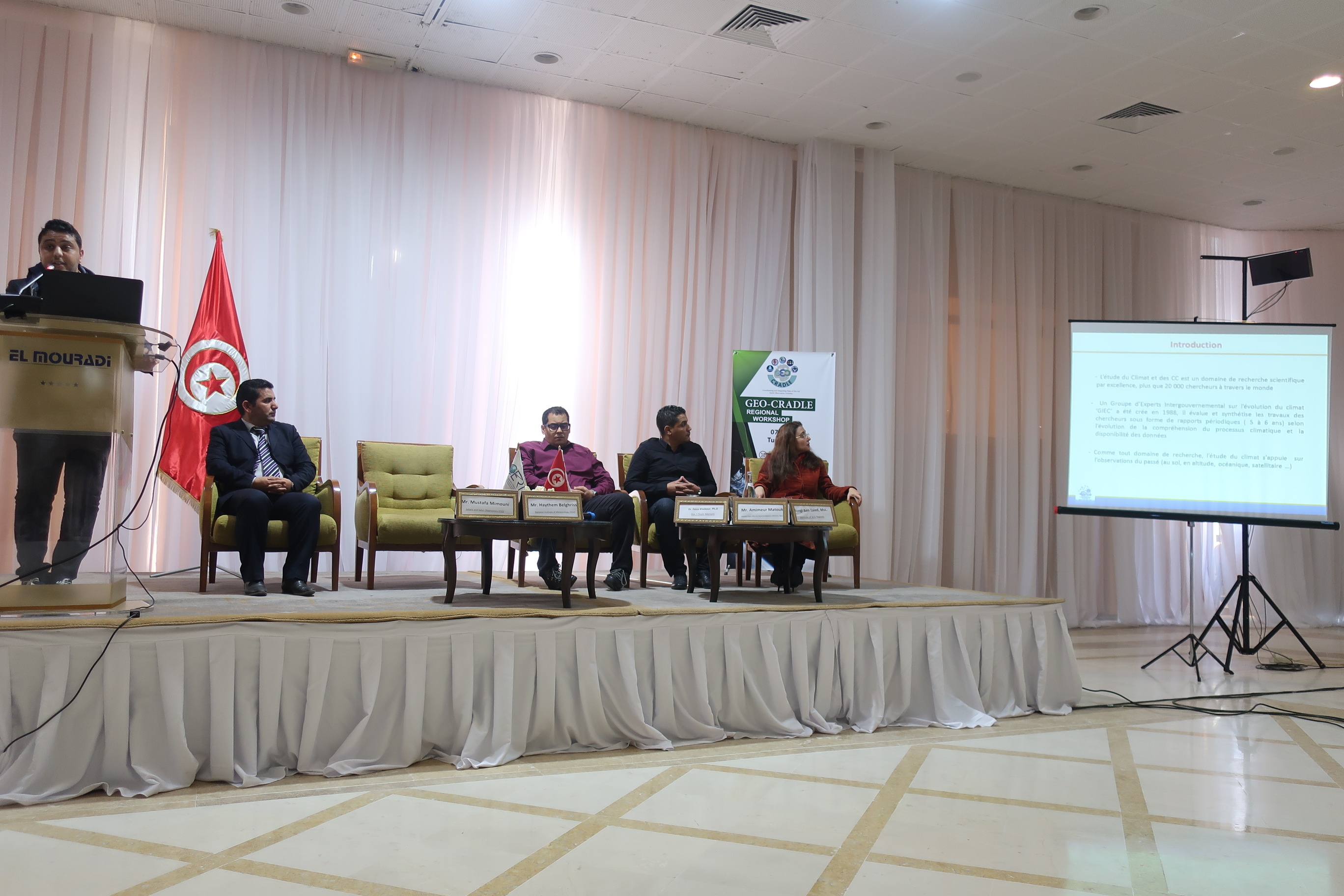
| 14:15-14:30 |
Observe past climate variability, project future climate change |
Mr. Haythem Belghrissi
National Institute of Meteorology (INM)

|
| 14:30-14:45 |
Exploitation of Earth Observation data for monitoring the implementation of climate agreements and initiatives: OSS Experience |
Mr. Nabil Ben Khatra
Sahara and Sahel Observatory (OSS)
|
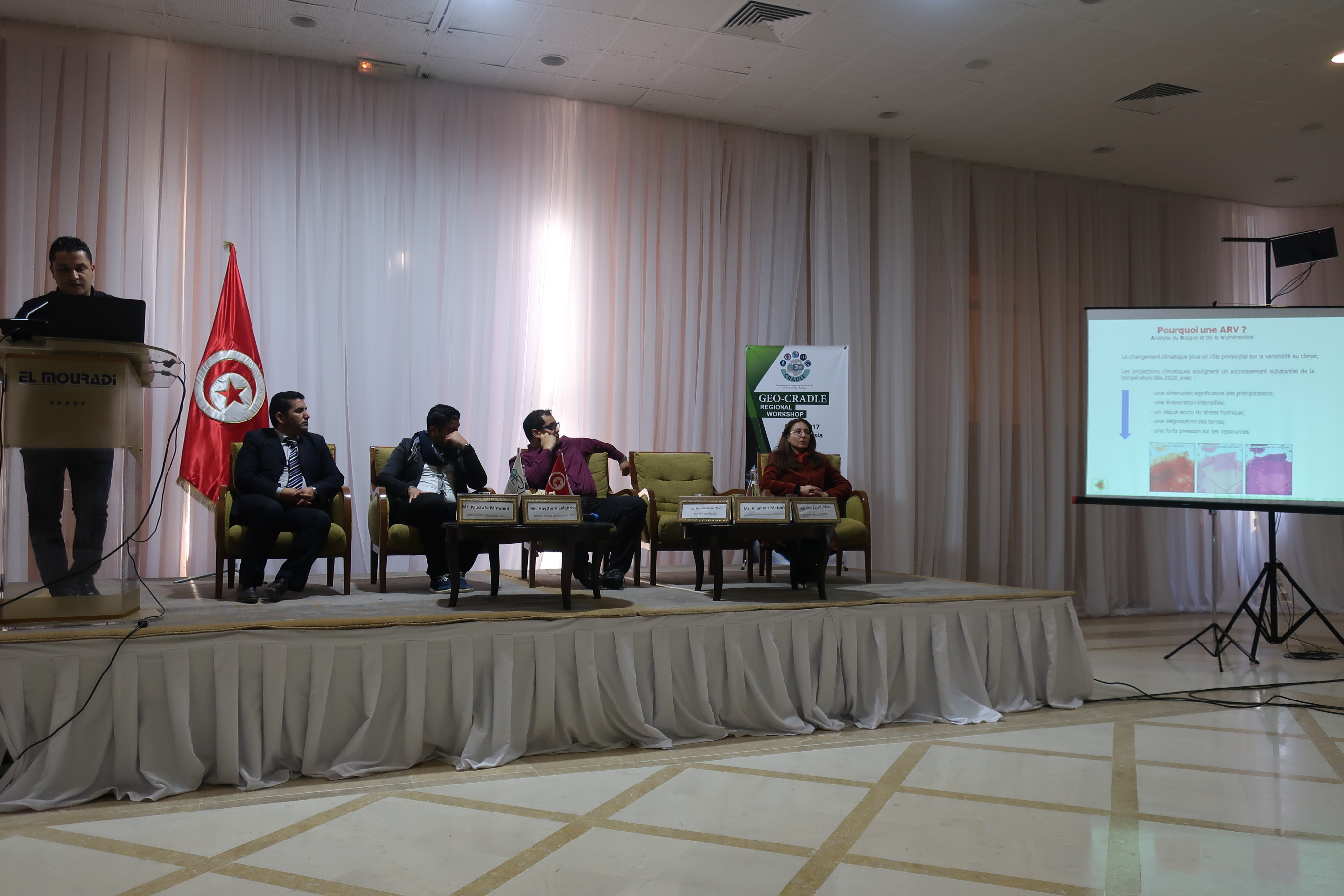
| 14:45-15:00 |
EO’s contribution to the climate change risk and vulnerability assessment of the agriculture sector |
Mr. Amimeur Matouk
Bureau National d’Etude pour le Développement Rural (BNEDER), Algeria

|
| 15:00-15:15 |
Q&A – Discussion
|
| 15:15-15:45 |
Coffee Break |
|
Session 4: Digital Earth of Cartography and Mapping applications
Chairperson: Mr. Hatem Guesmi
|
| 15:45-16:00 |
Digital soil cartography and mapping using satellite images |
Dr. Zouheir Berrabah
National Mapping and Remote Sensing Center (CNCT)

|
| 16:00-16:15 |
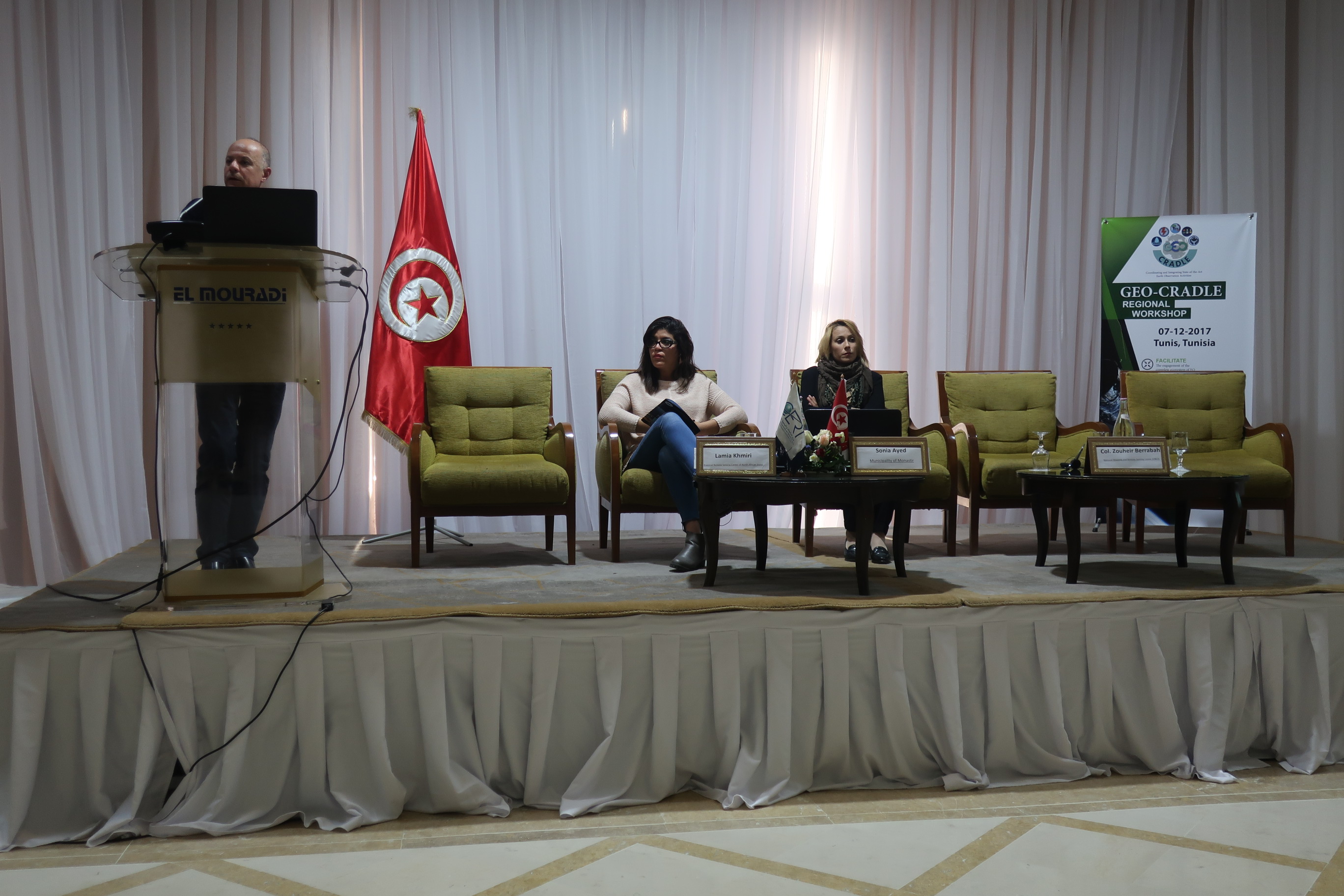
Urban Disaster Resilience through Risk Assessment and Sustainable Planning (UDR-RASP) |
Sonia Ayed
Municipality of Monastir
|
| 16:15-16:30 |
Application of remote sensing to deepen the hydrological study of a watershed (Medjerda basin case) |
Ms. Lamia Khmiri
Regional Remote Sensing Center of North African States (CRTEAN)
|
| 16:30-16:45 |
Q&A – Discussion 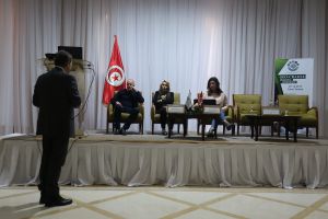 |
| Closing |
| 16:45-17:00 |
Comments and conclusions for better use of EO data and applications – Best practices. |
Dr. Haris Kontoes
GEO-CRADLE Project Coordinator, NOA

|