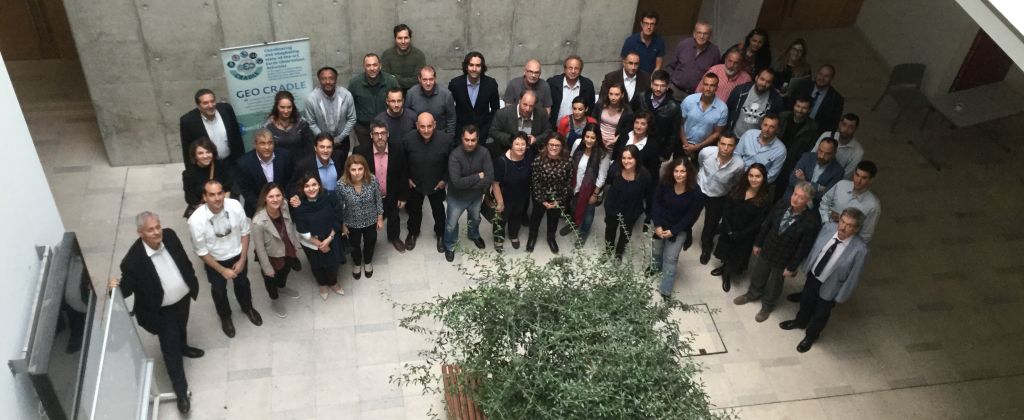
GEO-CRADLE project meeting to refine and launch the pilot activities, 16-17/11/2016, Limassol
GEO-CRADLE has proactively engaged with the relevant regional stakeholders (data/service providers, decision makers, and SMEs) in a series of consultation activities including surveys, interviews, workshops and bilateral exchanges, in order to identify the regional needs.
After an in-depth analysis of their feedback which was presented in the GEO-CRADLE meeting in Novisad, Serbia, GEO-CRADLE is now going to make a concrete first step through the following 4 pilot/feasibility studies towards addressing the identified gaps and needs in relation to common regional challenges by creating the appropriate ecosystem, building the necessary toolbox, and providing a first tangible outcome:
1) Adaptation to Climate Change (Leader: NOA)
2) Improved Food Security – Water Extremes Management (Leader: IBEC)
3) Access to Raw Material (Leader: EGS)
4) Access to Energy (Leader: PMOD/WRC)
The GEO-CRADLE meeting in Limassol, Cyprus, kindly hosted by the partner Cyprus University of Technology (CUT), will refine the scope of the pilots and conclude with their launch. The objective of the pilot activities is not to develop new science but to build on the integration of existing capacities (infrastructure, datasets, models, etc.) and skills within the relevant group of project partners that are involved towards the provision of improved EO Services in the RoI. The pilots will span a period of 15 months, and the final results will be presented to relevant stakeholders (especially decision makers) in a dedicated workshop.


|
DAY 1: WORKSHOP ON SOIL SPECTRAL DATA & WATER EXTREMES MANAGEMENT, ACCESS TO SOLAR ENERGY AND ADAPTATION TO CLIMATE CHANGE, 16 November 2016 |
|||
| 1 |
SESSION I: Water Extremes Management (WEM) |
||
| 1.1 | Water extremes mapping with EO: the FloodHub service of the BEYOND Center of Excellence by NOA, Greece | Alexia Tsouni | Presentation |
| 1.2 | Water extremes modelling with EO: risk forecasting, monitoring and prevention by DEWETRA platform by CIMA, Italy | Giorgio Boni | |
| 1.3 | Disaster Management in Albania with the web-based platform DEWETRA by IGEWE/UPT, Albania | Lilljana Lata | Presentation |
| 2 |
SESSION II: Access to Solar Energy (ASE) |
||
| 2.1 | Energy application for GEO-CRADLE, overview of the pilot activity by PMOD/WRC, Switzerland | Stelios Kazadzis | Presentation |
| 2.2 | Update on the use of EO and Copernicus related products for the energy pilot by NOA, Greece | Panagiotis Kosmopoulos | Presentation |
| 2.3 | Pilot applications for Greece and Egypt related end-users by NOA, Greece & CEDARE, Egypt | Panagiotis Kosmopoulos, Hesham El-Askary | Presentation |
| 3 |
SESSION III: Adaptation to Climate Change (ACC) |
||
| 3.1 | Overview and current status of T4.1 ACC activities by NOA, Greece | Vassilis Amiridis & Evangelos Gerasopoulos | Presentation |
| 3.2 | Strengthening the interplay between EO and modeling activities by IPB, Serbia | Slobodan Nickovic | Presentation |
| 3.3 | ACC-relevant modelling studies by IPB, Serbia | Vladimir Djurdjevic | Presentation |
| 3.4 | Establishing a pilot regional climate change web application tool for end-users by AUTH, Greece | Prodromos Zanis | Presentation |
| 3.5 | ACC user needs in North Africa and Middle East by CEDARE, Egypt | Hesham El-Askary | Presentation |
| 3.6 | CAMS activities for air quality monitoring and forecasting in Mediterranean by AOA, Greece | Ioannis Kapsomenakis | Presentation |
| 4 |
SESSION IV: Soil Spectral Data (SSD) |
||
| 4.1 | The role of soil spectroscopy for food security & tools to create a SSL by TAU, Israel | Eyal Ben Dor | Presentation |
| 4.2 | The role of soil spectral information for precision agriculture & practices and procedures to build SSLs at national level by TAU, Israel | Yaron Ogen | Presentation |
| 4.3 | Soil Spectral information in the era of commercial hyperspectral sensor in orbit: PRISMA project by CNR IMAA, Italy | Stefano Pignatti | Presentation |
| 4.4 | The role of precision agriculture in vineyard monitoring by Golan Heights Winery, Israel | Noa Maoz | Presentation |
| 4.5 | New imaging sensors for field, drone and airborne applications for soil mapping by Spectral Imaging Ltd (SPECIM), Finland | Petri Nygrén | Presentation |
| 4.6 | The application of spectral information for operational soil monitoring in Europe and in the world by ITPS / FAO, Italy | Luca Montanarella | Presentation |
|
DAY 2: PROJECT CONSORTIUM WORKING SESSION ON THE ROADMAP AND ACTION PLAN FOR WP4 IN LIGHT OF WP3 OUTCOMES , 17 November 2016 |
|||
| 1 |
Project Progress Meeting |
||
| 1.1 | Project coordination team presents project progress, setting out the goals of the day and the expected outcome from the meeting by NOA, Greece | Haris Kontoes & Lefteris Mamais & Eleni Christia | Presentation |
| 2 |
Outcomes & Results of WP3 |
||
| 2.1 | T3.1 Gap Analysis by INS | Igor Milosavljevic | Presentation |
| 2.2 | T3.2 Maturity Indicators by EARSC | Monica Miguel-Lago | Presentation |
| 3 |
Launching of WP4 |
||
| 3.1 | T4.1 Adaptation to Climate Change by NOA | Vassilis Amiridis | Presentation |
| 3.2 | T4.2 Improved Food Security – Water Extremes Management by i-BEC & TAU & CIMA | Nikos Tziolas & Eyal Ben Dor & Giorgio Boni | Presentation |
| 3.3 | T4.3 Access to Raw Materials by PGI/EGS | Marek Graniczny & Maria Przyłucka | Presentation |
| 3.4 | T4.4 Access to Energy by PMOD/WRC | Stelios Kazadzis | Presentation |